What Is AMRT™ Actually Measuring Underground?
One of the most common questions CC Explorations receives from geologists, mining executives, and technical teams is:
“How does AMRT™ actually work?”
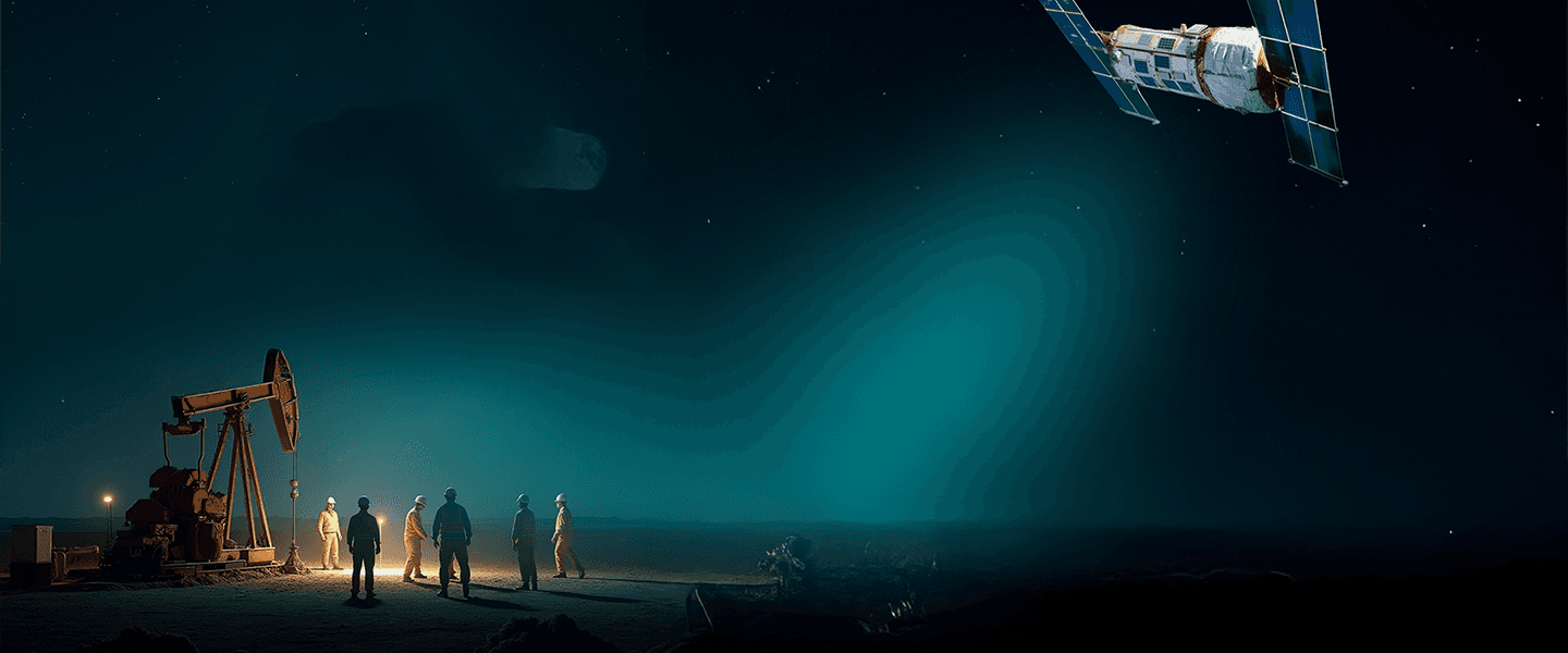
AMRT™ (Atomic Mineral Resonance Tomography) is a satellite-based subsurface targeting technology developed from principles associated with Nuclear Magnetic Resonance (NMR), resonance frequency analysis, and advanced geospatial interpretation systems.
The technology is designed to help identify and differentiate electromagnetic resonance responses associated with specific mineral elements and geological structures remotely from space.
As exploration companies face increasing pressure to reduce drilling costs, improve targeting efficiency, and minimize environmental impact, interest in advanced remote sensing technologies continues to grow across the mining sector.
The Scientific Principle Behind AMRT™
Different geological materials and mineral compositions exhibit distinguishable electromagnetic resonance characteristics across specific frequency ranges.
Naturally occurring electromagnetic responses propagate through subsurface geological formations, including:
rock structures
mineralized zones
groundwater systems
hydrocarbons
fault and fracture networks
As electromagnetic signals interact with different materials, the resulting resonance responses vary according to the atomic and molecular characteristics of the subsurface environment.
AMRT™ is designed to isolate, process, and analyze these resonance signatures remotely using satellite-based acquisition systems calibrated to detect targeted frequency responses.
What the System Is Designed to Identify
When resonance anomalies are detected, AMRT™ processing models are used to estimate:
potential target locations
approximate depth ranges
structural geometry
spatial distribution of subsurface anomalies
The resulting datasets are exported into KMZ visualization files compatible with platforms such as Google Earth, allowing technical teams to integrate target overlays directly into existing exploration workflows.
Why This Matters in Mineral Exploration
Traditional exploration programs often require substantial capital investment before meaningful subsurface validation occurs.
Regional field surveys, geophysics, geochemistry, and drilling campaigns can take significant time and operational resources before exploration teams gain confidence in target quality.
AMRT™ is designed to provide an additional layer of remote targeting intelligence during the early stages of exploration.
In practical terms, the technology may help teams:
prioritize higher-probability drill targets
reduce unnecessary drilling activity
accelerate regional project assessment
optimize field deployment
improve capital allocation efficiency
lower operational and environmental impact
Importantly, AMRT™ is not intended to replace conventional geology, drilling, or field validation.
The technology is designed to complement existing exploration workflows by helping technical teams evaluate targets earlier and with additional subsurface context.
Applications Across Multiple Resource Sectors
Over the past two decades, CC Explorations has completed projects globally across multiple resource sectors, including:
precious metals
base metals
rare earth elements
oil and gas
groundwater detection
archaeological investigations
AMRT™ technology was also featured in the History Channel series “Lost Gold of World War II,” where it assisted in identifying one of the reported Yamashita treasure locations in the Philippines.
The Growing Role of Remote Sensing in Exploration
As the mining industry continues shifting toward faster, more efficient, and lower-impact exploration strategies, advanced remote sensing technologies are becoming increasingly important within modern exploration workflows.
Satellite-based targeting systems can help exploration teams evaluate large geographic areas earlier in the project lifecycle before substantial drilling resources are deployed.
AMRT™ represents a resonance-based approach to subsurface targeting that combines:
satellite acquisition
resonance frequency analysis
geospatial interpretation
remote sensing workflows
to support earlier, data-driven exploration decisions.
“We were extremely pleased with the results of our blind verification test conducted using AMRT™ survey data. We highly recommend CC Explorations’ AMRT services.”
— Mr. Mouni Anouga, Founder, Tiebele Mining SARL
Learn More About AMRT™
CC Explorations continues working with mining companies, exploration groups, and technical teams seeking new approaches to early-stage resource targeting and exploration efficiency.
For organizations evaluating AMRT™ for a specific region, mineral target, or exploration program, technical consultations and project evaluations are available upon request.